Pacific Crest Trail Maps, Apps and Guide Books
The best Pacific Crest Trail maps, mobile apps and guide books for hiking the Pacific Crest Trail 2,650 miles from Mexico to Canada
About The Pacific Crest Trail
The Pacific Crest National Scenic Trail (PCT) is a long-distance hiking trail in the western United States that travels 2,650 miles from Mexico to Canada, across California, Oregon and Washington. The PCT is part of the “Triple Crown” of long-distance backpacking trails, along with the Appalachian Trail and Continental Divide Trail.
One of the biggest challenges of hiking the Pacific Crest Trail is navigation. Although the PCT is well maintained for most of it’s length, it is not well-marked like other trails. A good set of Pacific Crest Trail maps are essential for planning and navigation. This guide covers the best paper maps, guidebooks and mobile apps for hiking the Pacific Crest Trail.
Pacific Crest Trail Maps
Pacific Crest Trail Maps are an essential tool for navigating the Pacific Crest Trail. Even if you use a smartphone or GPS for navigation, you should still always carry paper maps for backup. Electronic devices can malfunction or run out of batteries when you need them most, but paper maps are always reliable. Most hikers carry both to get the best of both worlds.
The best Pacific Crest Trail maps are: Erik the Black’s PCT Pocket Atlases and National Geographic PCT Maps.
Erik the Black’s Pacific Crest Trail Maps
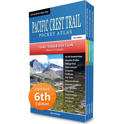
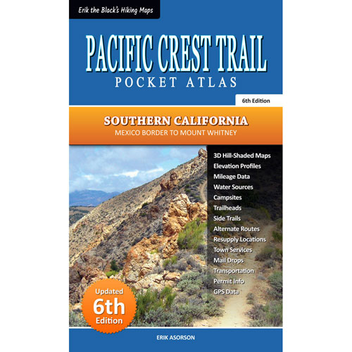
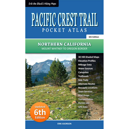
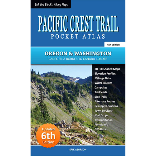
Pacific Crest Trail Pocket Atlases are ultralight pocket map books published by cartographer and PCT thru-hiker “Erik the Black” Asorson. Designed for lightweight backpackers and thru-hikers, they contain only the essential information needed to plan your hike and navigate the trail, in an extremely compact package.
The entire 2,650 mile Pacific Crest Trail is covered in three books: Southern California, Northern California and Oregon & Washington. Each atlas measures 4.25 x 7 inches and weighs 3 ounces. The complete 3-book set weighs just 10 ounces, including slipcase.
Pacific Crest Trail Pocket Atlas
Complete 3-Book Set
Buy online:

Pacific Crest Trail Pocket Atlas
Southern California
Buy online:
Pacific Crest Trail Pocket Atlas
Northern California
Buy online:
Pacific Crest Trail Pocket Atlas
Oregon & Washington
Buy online:
National Geographic Pacific Crest Trail Maps
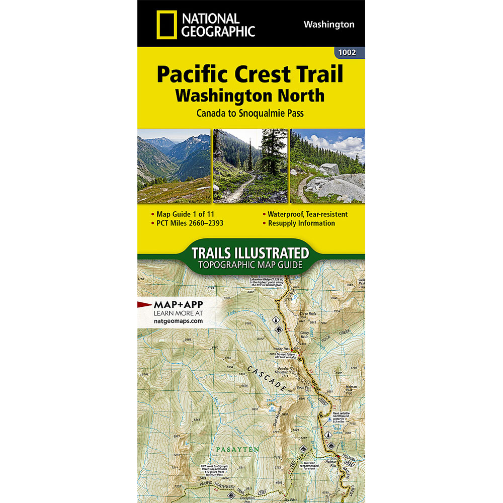
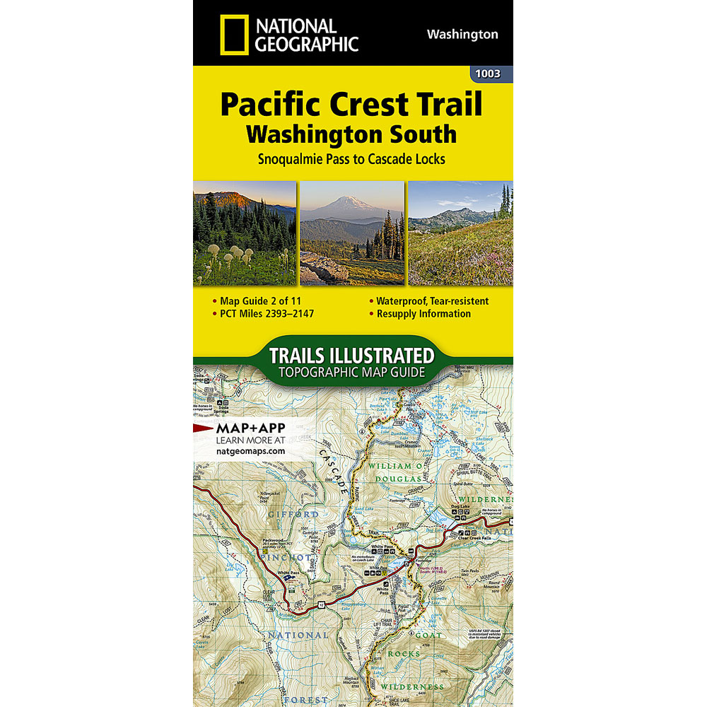
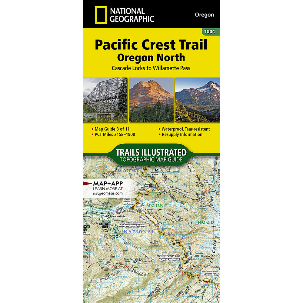
Nat Geo PCT Map Guides are pocket-size waterproof booklets, each covering approximately 250 miles of the Pacific Crest Trail. They include: topographic maps, elevation profiles, points of interest, trail mileage and some planning data.
The entire Pacific Crest Trail is covered in 12 booklets (11 trail maps and 1 overview/planning map.) Each booklet measures 4.25 x 9.25 inches and weighs 3 ounces. The complete 12-book set weighs 36 ounces.
Nat Geo PCT Map 1002
Washington North
Buy online:
Nat Geo PCT Map 1003
Washington South
Buy online:
Nat Geo PCT Map 1004
Oregon North
Buy online:
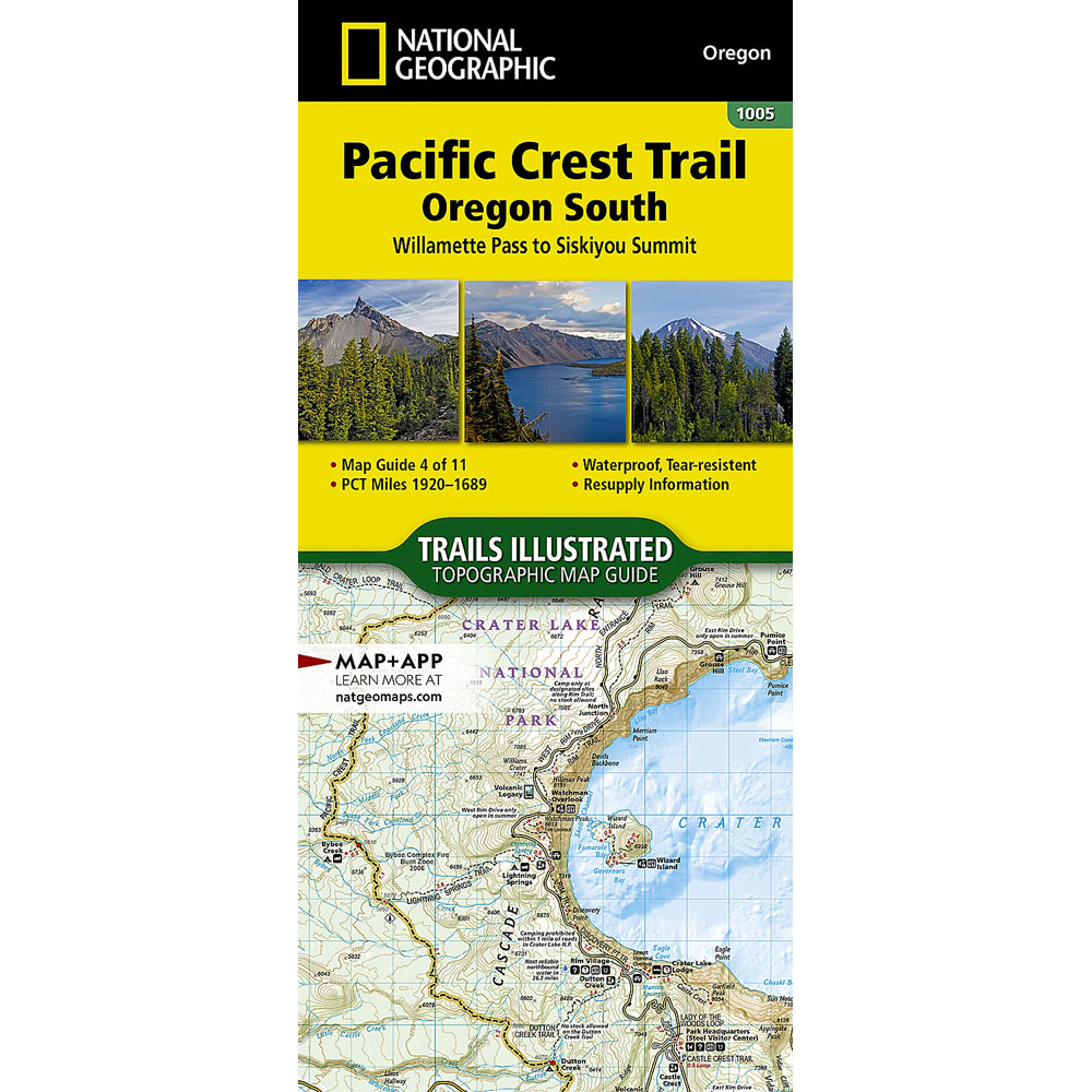
Nat Geo PCT Map 1005
Oregon South
Buy online:
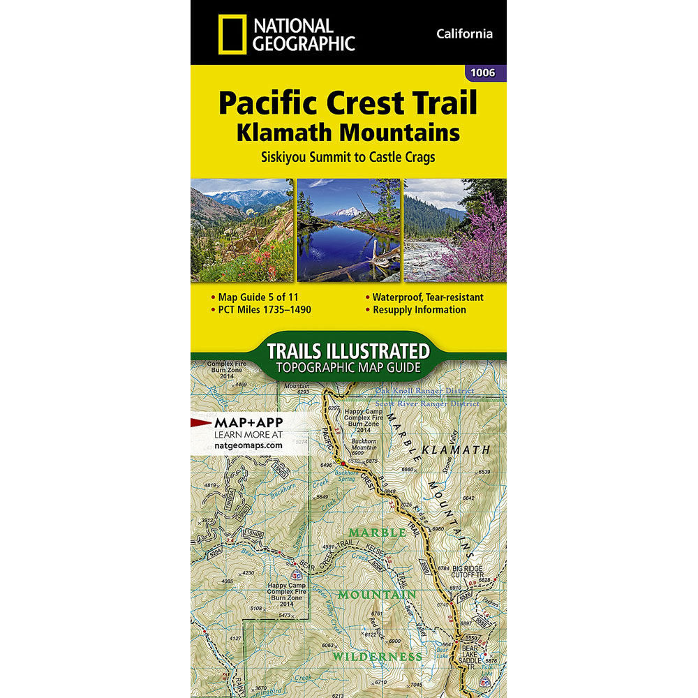
Nat Geo PCT Map 1006
Klamath Mountains
Buy online:
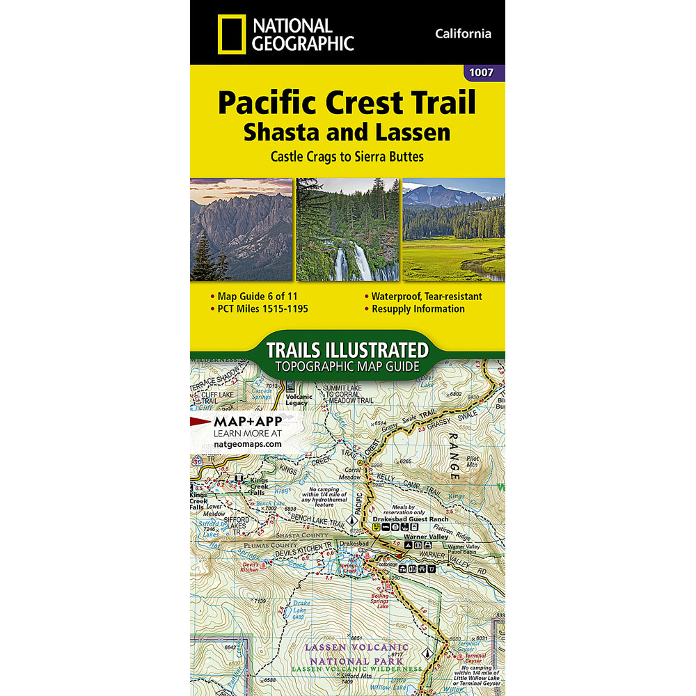
Nat Geo PCT Map 1007
Shasta and Lassen
Buy online:
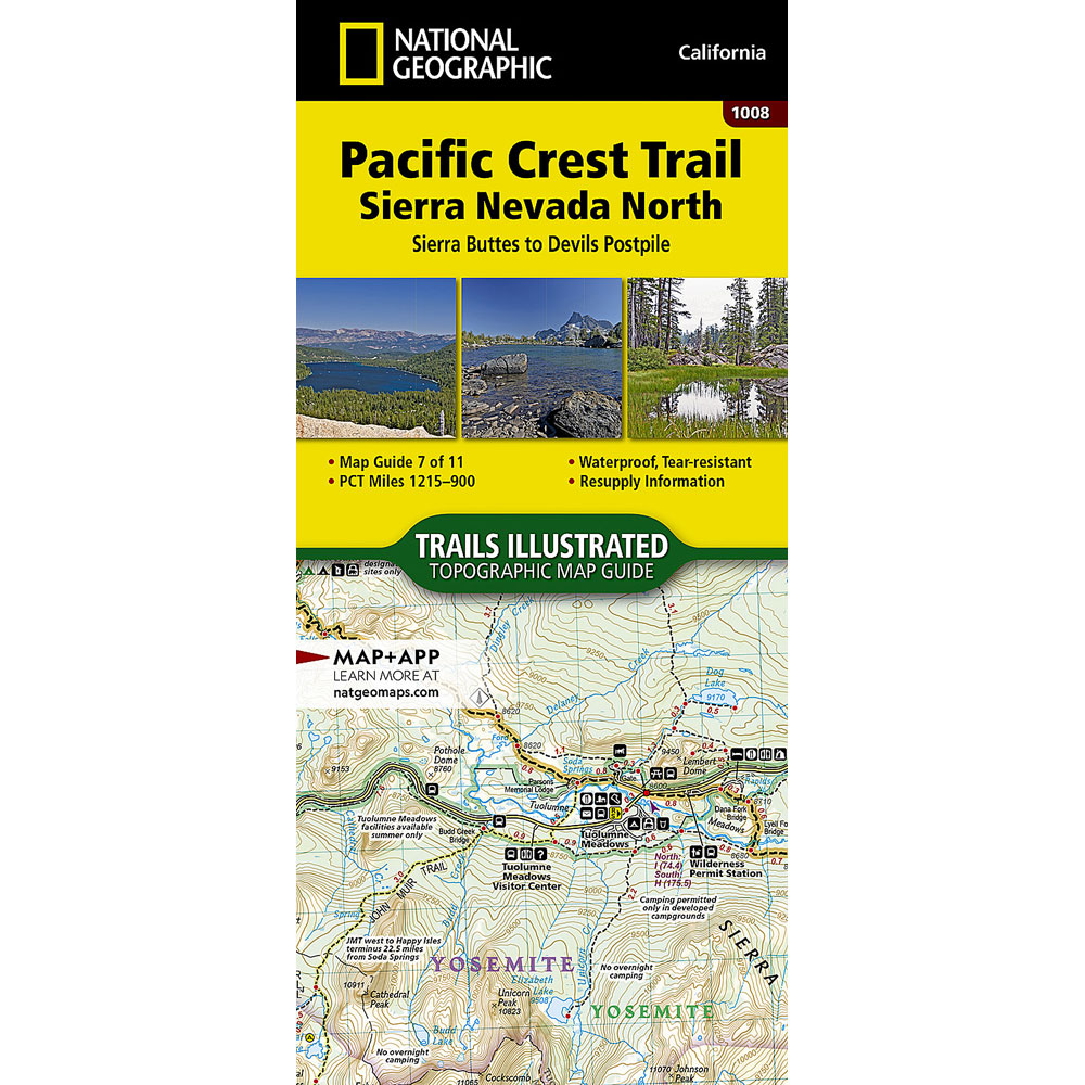
Nat Geo PCT Map 1008
Sierra Nevada North
Buy online:
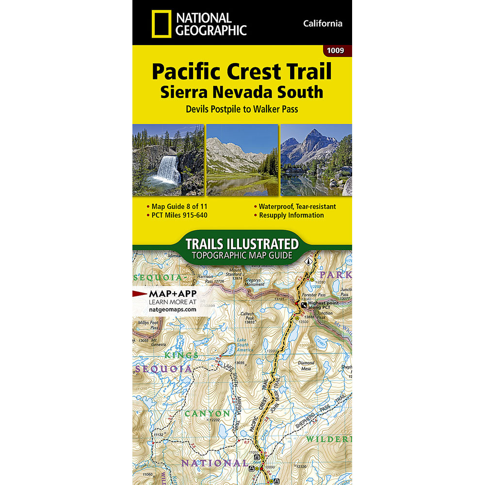
Nat Geo PCT Map 1009
Sierra Nevada South
Buy online:
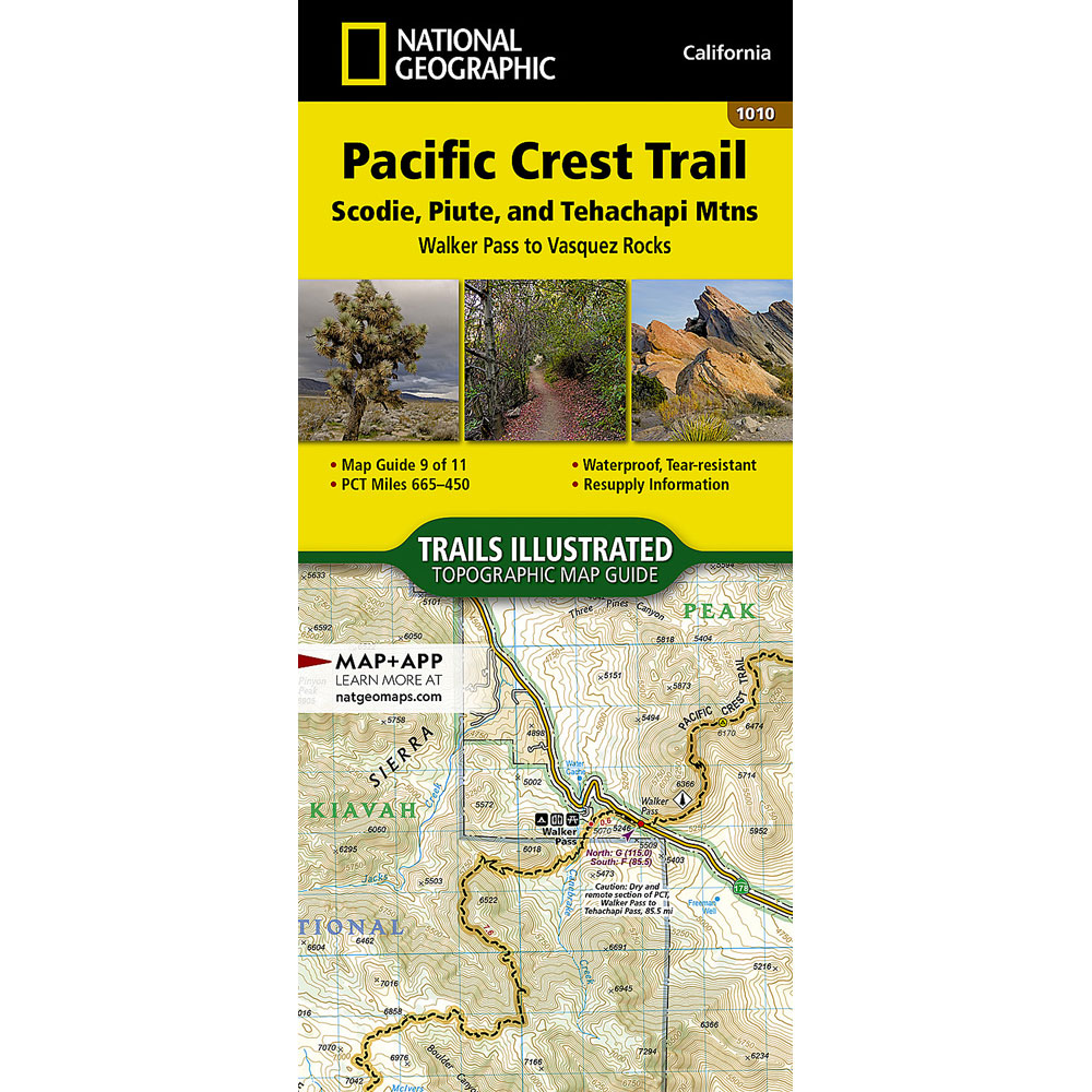
Nat Geo PCT Map 1010
Scodie, Piute, Tehachapi Mtns
Buy online:
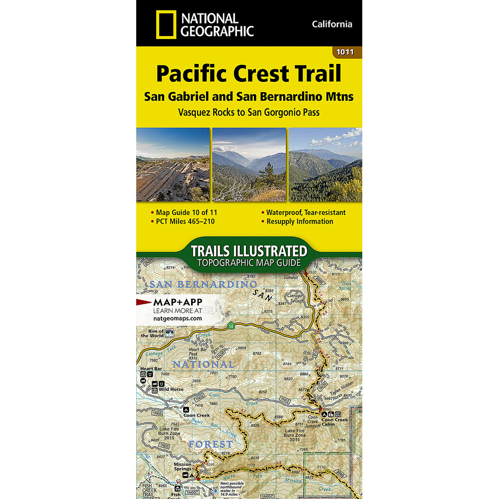
Nat Geo PCT Map 1011
San Gabriel, San Bernardino Mtns
Buy online:
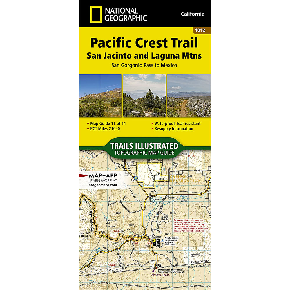
Nat Geo PCT Map 1012
San Jacinto, Laguna Mtns
Buy online:
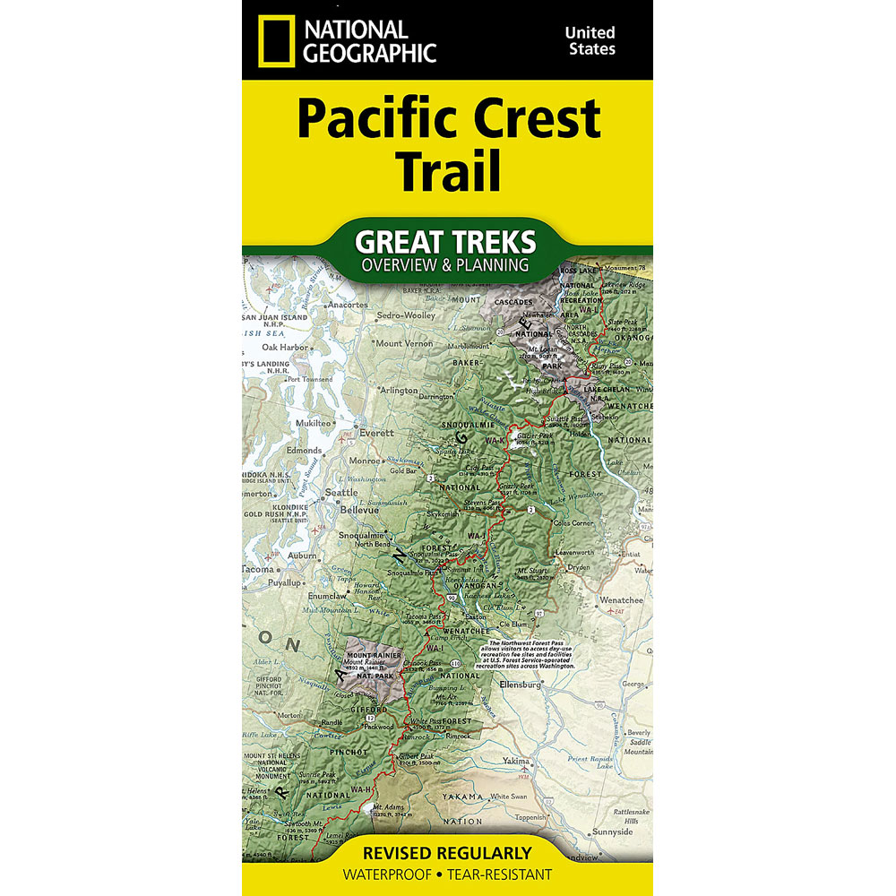
Nat Geo PCT Map 5001
Overview & Planning
Buy online:
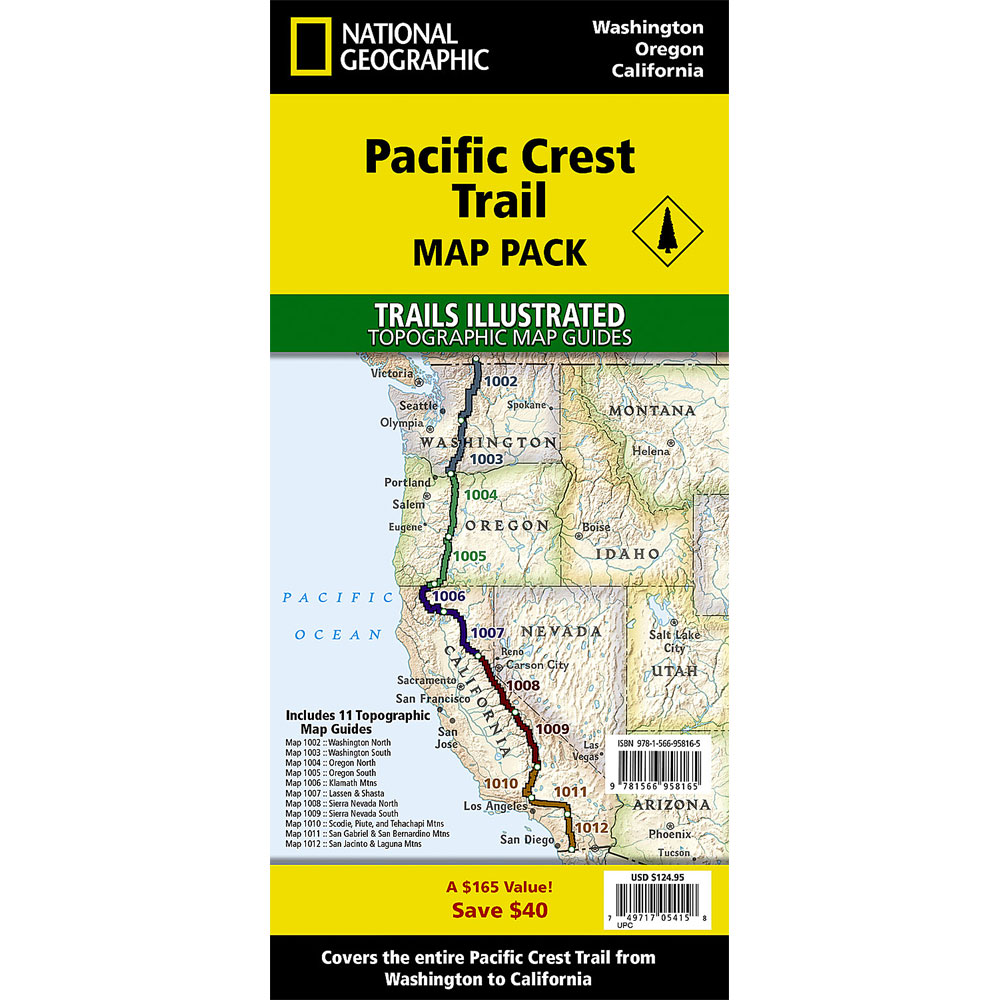
Nat Geo PCT Map Pack
Complete PCT
Buy online:
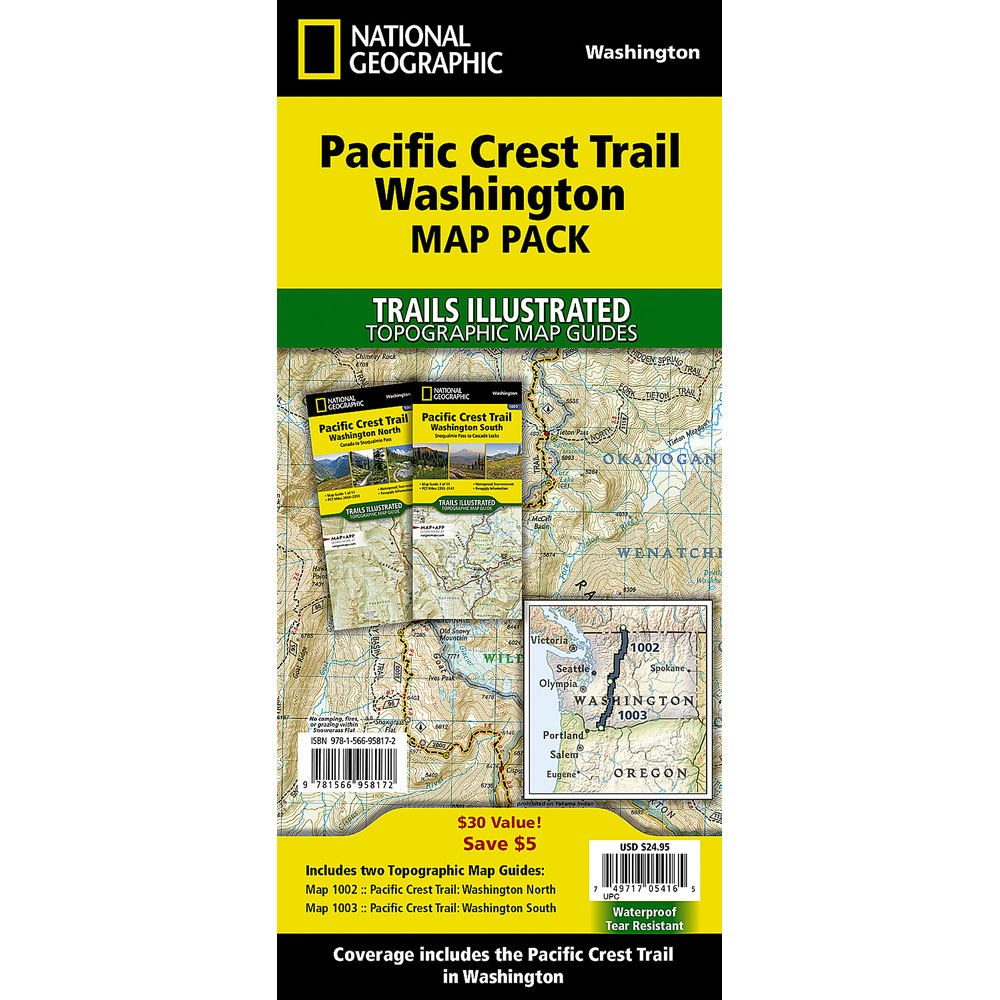
Nat Geo PCT Map Pack
Washington
Buy online:
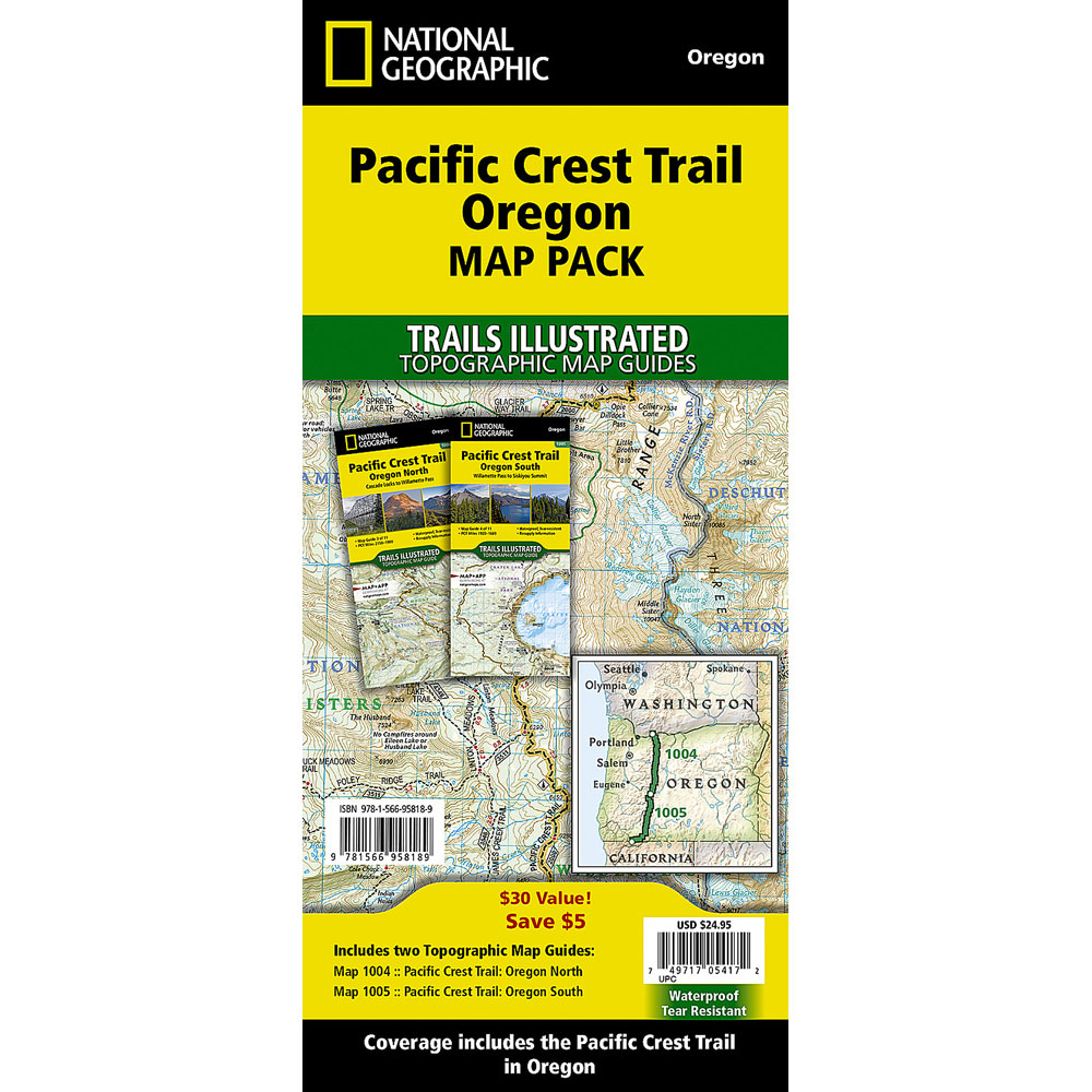
Nat Geo PCT Map Pack
Oregon
Buy online:
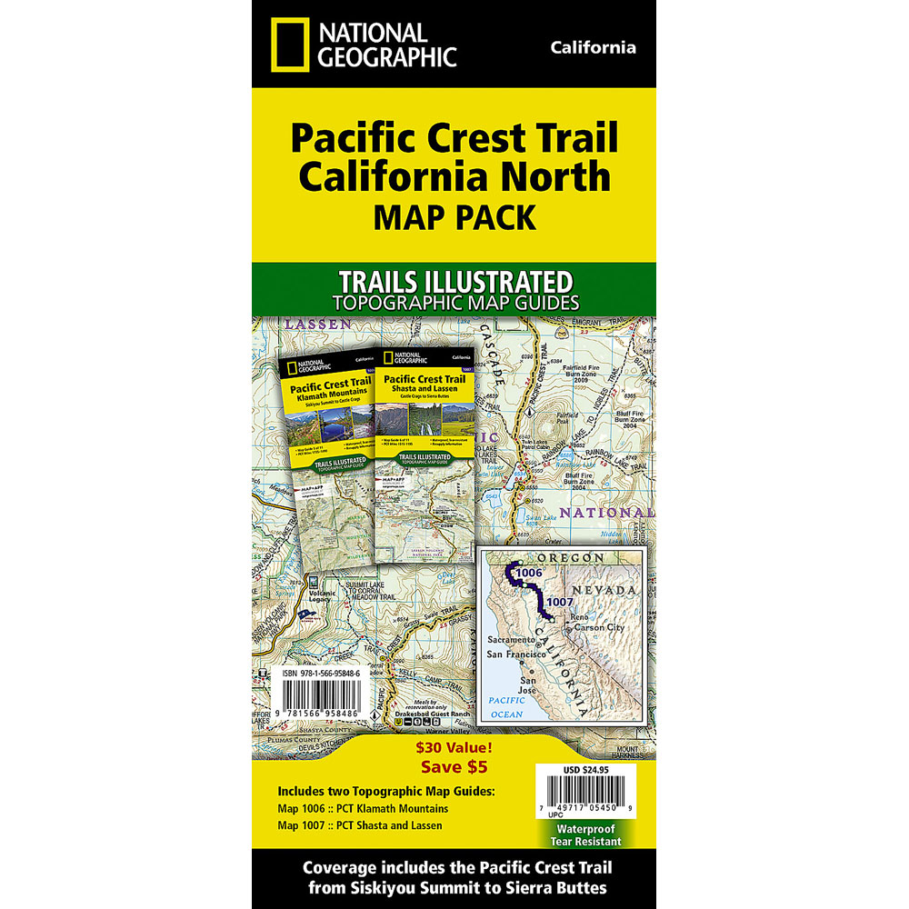
Nat Geo PCT Map Pack
California North
Buy online:
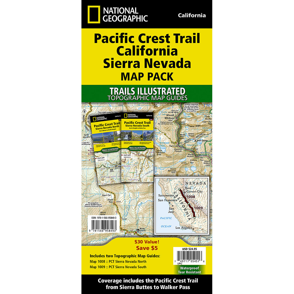
Nat Geo PCT Map Pack
California Sierra Nevada
Buy online:
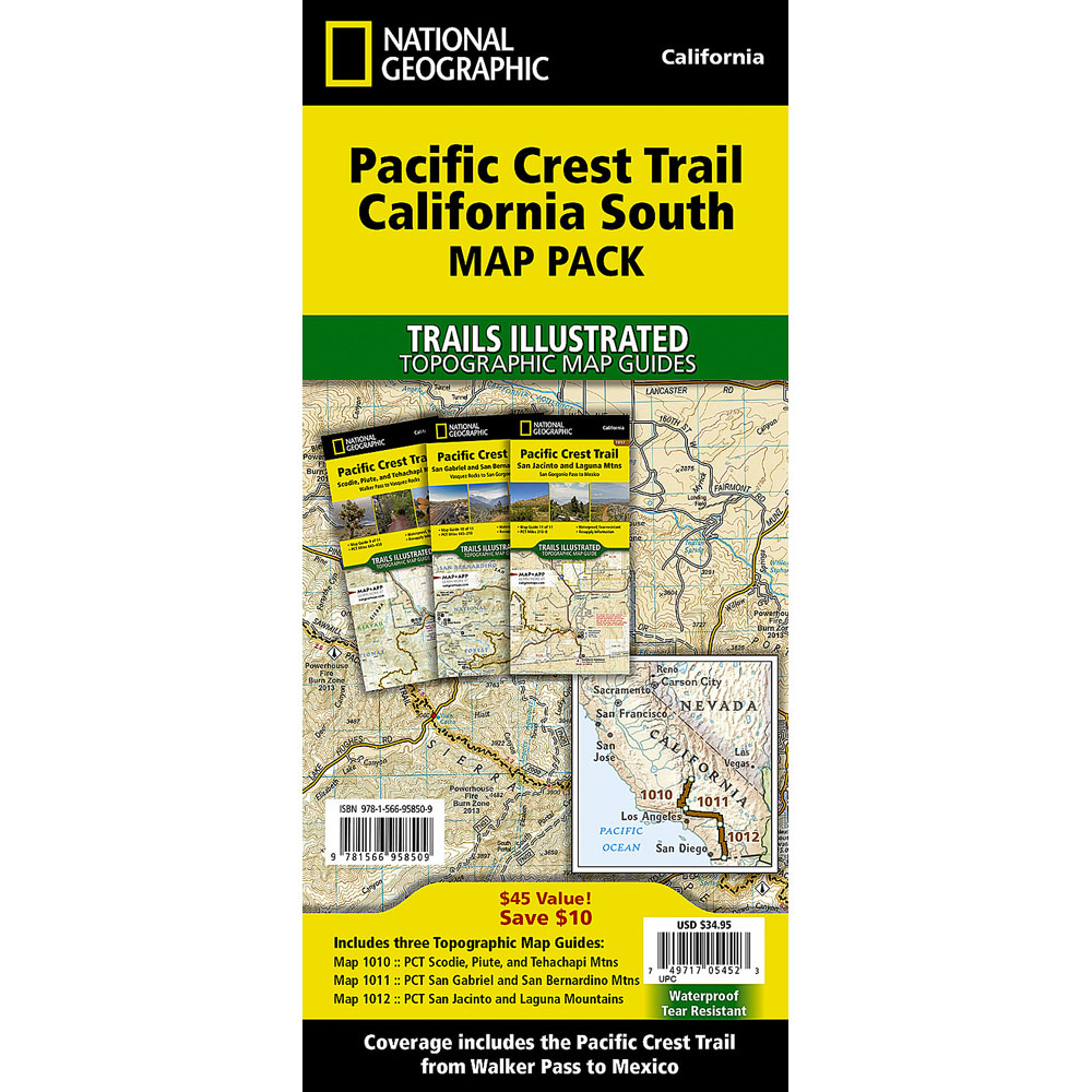
Nat Geo PCT Map Pack
California South
Buy online:
Laminated Pacific Crest Trail Maps (Wall Maps)
A large Pacific Crest Trail map to hang on your wall is a great way to visualize and plan your PCT hike. These maps show the entire 2,650 mile PCT route from Mexico to Canada, with elevation profiles, mileage tables, trail towns and resupply information.
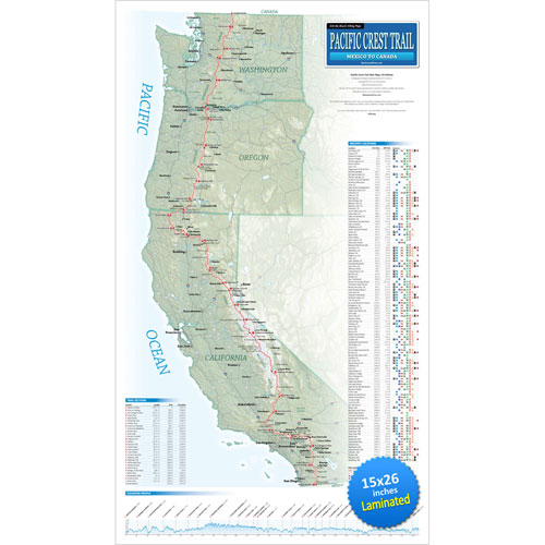
Erik the Black’s PCT Wall Map
15 x 26 inches (Laminated)
Buy online:
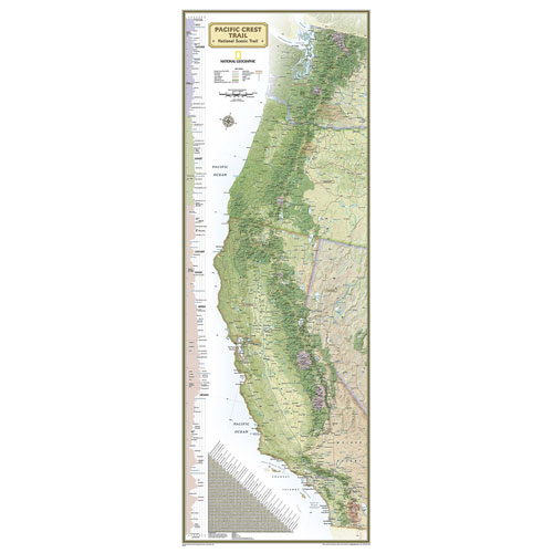
Nat Geo PCT Wall Map
18 x 48 inches (Laminated)
Buy online:
Pacific Crest Trail Guide Books
Pacific Crest Trail Guide Books contain a treasure trove of information about the Pacific Crest Trail. Unfortunately, they tend to be big and heavy, so most PCT hikers don’t want to carry the entire book with them on the trail. Luckily, there are some workarounds.
One way to save weight is to cut the guidebooks up and only pack the pages you need for each section of trail. An even better option is to download the digital version to your phone using the Amazon Kindle app.
Wilderness Press Pacific Crest Trail Guide Books
Wilderness Press Pacific Crest Trail Guidebooks are the O.G. of PCT Guides. They have been around since the 1970s.
The entire Pacific Crest Trail is covered in three books: Southern California, Northern California and Oregon & Washington. The companion Data Book lists mileage and elevation for important waypoints along the PCT, with planning and resupply data.
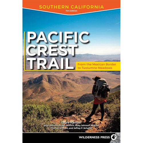
Pacific Crest Trail
Southern California
Buy online:
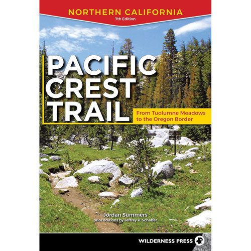
Pacific Crest Trail
Northern California
Buy online:
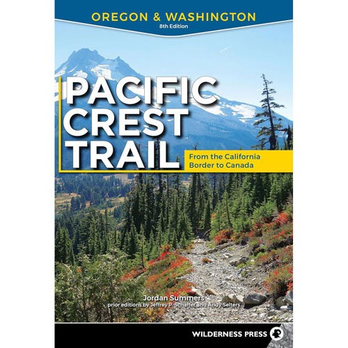
Pacific Crest Trail
Oregon & Washingon
Buy online:
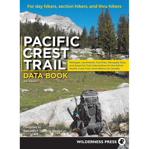
Pacific Crest Trail
Data Book
Buy online:
Section Hiking The Pacific Crest Trail Guide Books
The ‘Hiking The Pacific Crest Trail’ series of PCT guidebooks are written primarily for section hikers. The entire Pacific Crest Trail is covered in four books: Southern California, Northern California, Oregon and Washington.
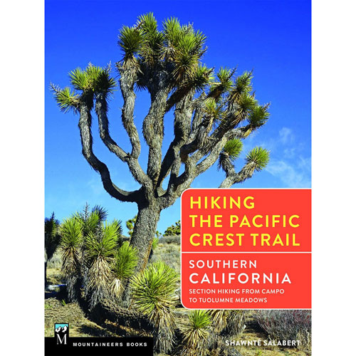
Hiking The PCT
Southern California
Buy online:
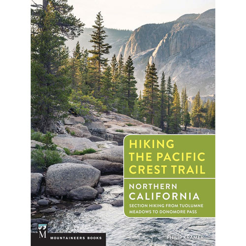
Hiking The PCT
Northern California
Buy online:
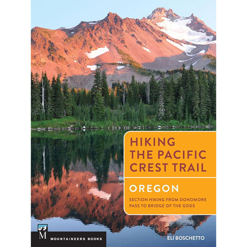
Hiking The PCT
Oregon
Buy online:

Hiking The PCT
Washington
Buy online:
Day & Section Hiking The PCT Guide Books
The ‘Day & Section Hikes’ PCT guidebooks are written for day and section hikers. The entire PCT is covered in four books: Southern California, Northern California, Oregon and Washington. Each pocket-size book measures 5 x 7 inches and weighs 6-8 ounces.
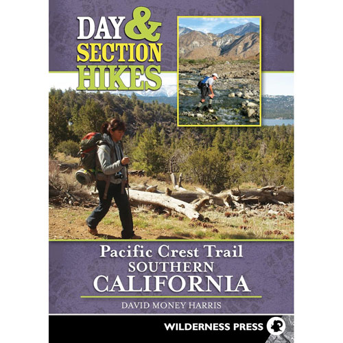
Day & Section Hikes PCT
Southern California
Buy online:
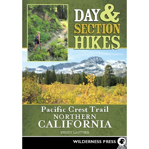
Day & Section Hikes PCT
Northern California
Buy online:
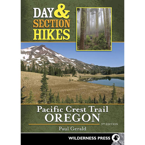
Day & Section Hikes PCT
Oregon
Buy online:
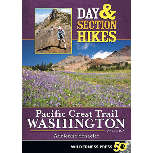
Day & Section Hikes PCT
Washington
Buy online:
Other Pacific Crest Trail Guide Books
‘Hiking The Pacific Crest Trail’ is a set of three compact PCT guidebooks. The entire Pacific Crest Trail is covered by one planning book and two map books. The map books measure 4.5 x 6.75 inches and weigh 6-7 ounces each.
‘Pocket PCT’ is a compact Pacific Crest Trail data book focusing on elevation profiles. It includes trail mileage, elevation data and planning info. The book measures 5 x 8 inches and weighs 5 ounces.
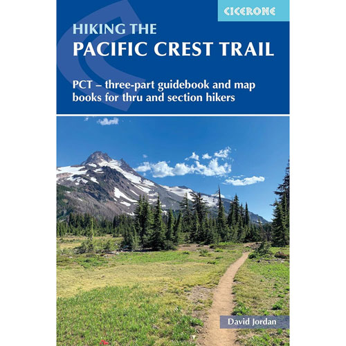
Hiking The PCT
3 Part Guidebook
Buy online:
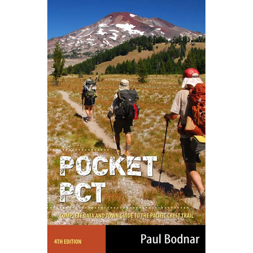
Pocket PCT
Data Book
Buy online:
Pacific Crest Trail Mobile Apps
Why You Should Always Pack Paper Maps On The Pacific Crest Trail
Smartphones and GPSes have made trail navigation much easier and more convenient than it used to be. But you should never rely on them exclusively. Electronics can malfunction, get damaged or run out of batteries at the worst times. Paper maps are always reliable, which is why they are an essential tool for safe wilderness travel. Most PCT hikers pack paper maps and a GPS.
FarOut Pacific Crest Trail App
FarOut PCT is the most popular smartphone app for the Pacific Crest Trail. It includes PCT-specific route data, waypoints, water sources, campsites, resupply and town data and trip planning tools.
Amazon Kindle App
Amazon Kindle enables you to pack digital editions of PCT guidebooks on your phone with no weight penalty, as well as an unlimited library of e-books for recreational reading in camp.
GAIA GPS App
GAIA GPS is useful for route planning, recording tracks and identifying/navigating the many unmarked roads and trails which intersect the Pacific Crest Trail.
AllTrails App
AllTrails is another app that is great for route planning, recording tracks and navigating roads and side trails along the PCT.
Pacific Crest Trail GPS Data
Pacific Crest Trail GPS tracks and waypoints make it easy to navigate the Pacific Crest Trail. Download them onto your phone or GPS to see the route of the trail, your current location and important trail features (like water sources and campsites) while you hike.
Pacific Crest Trail Association GPS Tracks
The Pacific Crest Trail Association publishes a detailed set of GPS tracks showing the route of the entire Pacific Crest Trail. You can download them for free from the PCTA website in a GPX format that will work with any smartphone or GPS.
Erik the Black’s GPS Waypoints
Erik the Black’s PCT Maps show the locations of water sources, campsites, trailheads and other points of interest along the Pacific Crest Trail. When you purchase a Pacific Crest Trail Pocket Atlas, you also get a GPX waypoint file to use with your phone or GPS.
Tips For Navigating The Pacific Crest Trail
- Carry paper maps and a GPS: The more information you have on the Pacific Crest Trail, the better. Especially if it’s not too heavy and doesn’t take up much space in your pack. With a set of lightweight paper PCT maps in your pocket and a few apps loaded on your phone, you will have all the information you need to successfully hike the Pacific Crest Trail.
- Check your maps early and often: The Pacific Crest Trail intersects hundreds of unmarked roads and trails. The trail can also be obscured by sand, snow, downed trees, water crossings, etc. If you aren’t paying attention, it’s easy to wander down a side trail and not even know you’re off-track until miles later. When in doubt, check your maps and GPS at major intersections.
-
Look for footprints, cairns and other markers. When you encounter a confusing intersection, the Pacific Crest Trail is usually the widest and most well-traveled trail. If you don’t see a trail sign, look for makeshift markers, like rock cairns or arrows made from rocks and sticks. The PCT is also usually the trail with the most footprints.
- Pack more water than you think you will need. The Pacific Crest Trail passes through many arid zones, especially in Southern California. The reliability of natural water sources varies widely and some are located a dozen or more miles apart. Check the water report at PCTWater.com for the most recent water info before starting your hike.
PacificCrestTrailMap.com
Affiliate Disclosure: As an Amazon Associate, I may earn commissions for qualifying purchases.